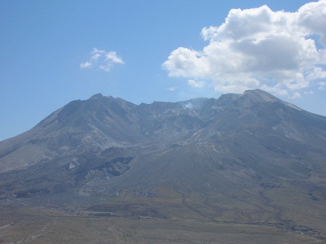
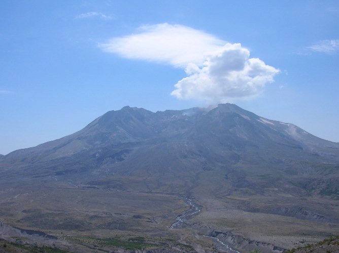
The new lava dome sends up a cloud of blue/grey steam and a rock fall from the western crater
wall billows up as a light brown haze.
August 2005 and 2006
at Mount St Helens
For two summers in a row I have taken a volcano
class at Centralia College from local geologist, Pat Pringle.
Pat worked
for the USGS at Mount St Helens from 1982 to 1990
and is an excellent guide on these trips.
The class consists of two evenings of lecture and an all day field trip
to the mountain on Saturday.
Next summer we hope to explore Mount Rainier.
Here are some of the better photos I took on the two field trips.
August 13, 2005
The new lava dome sends up a cloud of blue/grey steam and a rock fall from the
western crater
wall billows up as a light brown haze.
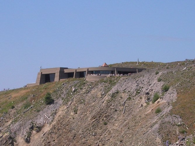
A look back towards the Johnston Ridge Observatory from the Boundary Trail.
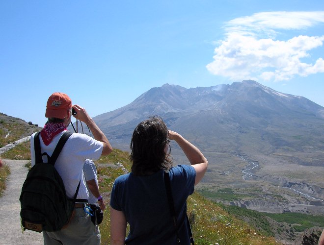
Pat and a fellow hiker check out the new lava dome.
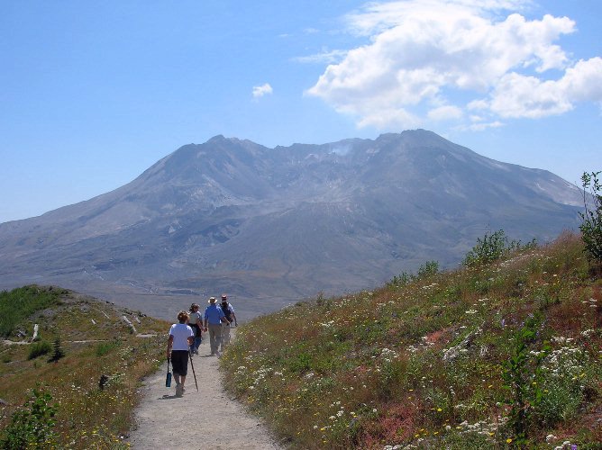
I love this shot of my classmates among the wildflowers and the spectacular view
of the mountain.
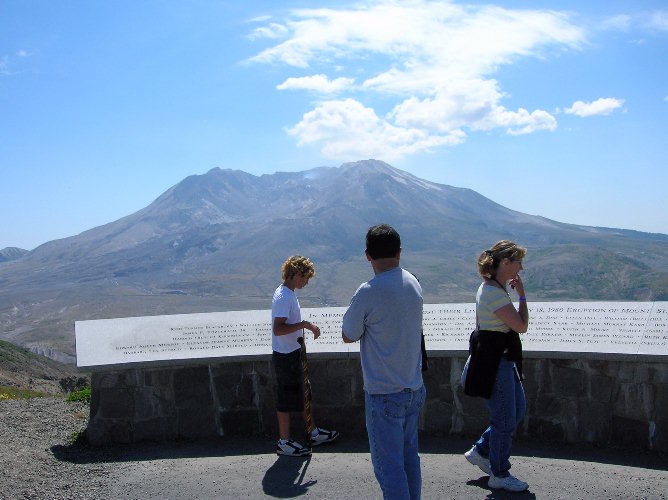
Eddie, Terri and their son, Aaron, study the names of the lost on this memorial at
Johnston Ridge.
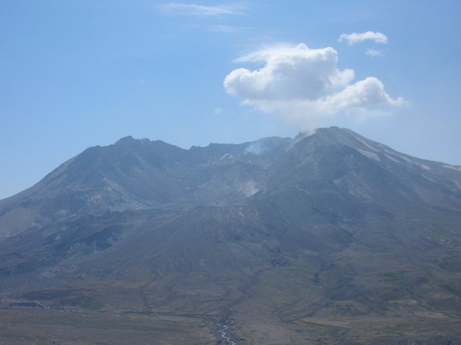
(Above and Below) another large rock fall sends up a cloud of
light brown dust. The water vapor in the dust seems
to be creating it's
own weather above the mountain since the cloud seemed to grow as more and more
rock falls occurred.
We took a side trip to a site at the old "Harry Gardner Park" near the South
Fork Toutle River to examine deposits of
several humongous lahars that
originated during Mount St. Helens "Pine Creek" eruptive period, about 2,600
to 3,000
years ago. Those lahars resulted when ancient lakes that had been
blocked by volcanic debris breached their dams and
suddenly drained. Kevin
Scott, a USGS geologist who had studied these layers, said the largest of
these great flows would
have been like the Amazon River at flood stage
suddenly roaring down the Toutle River! (Thank you to Pat Pringle
for writing
this caption for me!)
August 19, 2006
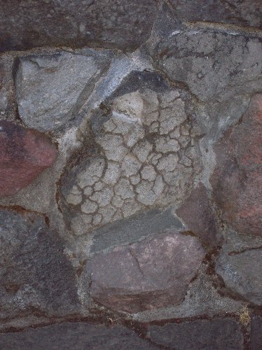
A bread crust bomb that was incorporated into one of the walls at the Silver
Lake Visitors Center.
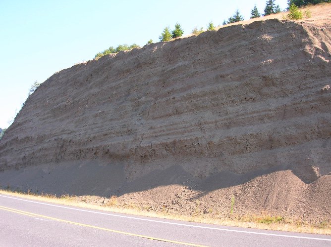
Ancient lahar layers from the Oligocene age along Highway 504 about a mile before the Hoffstadt
Bluffs Visitors Center. There are even
petrified stumps viewable within several of the layers.
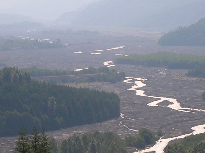
This was taken from the sun deck at Hoffstadt Bluffs. The structure in
the left center of the photo is what remains of
the original sediment retention dam. It was crippled by a lahar on
March 19, 1982 that filled up and then topped the dam.
It was finished off by November 1982 flooding that washed away the
southern half. The Army Corps of Engineers
eventually built the current retention dam farther downstream.
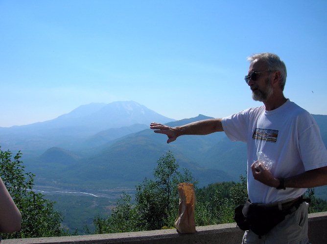
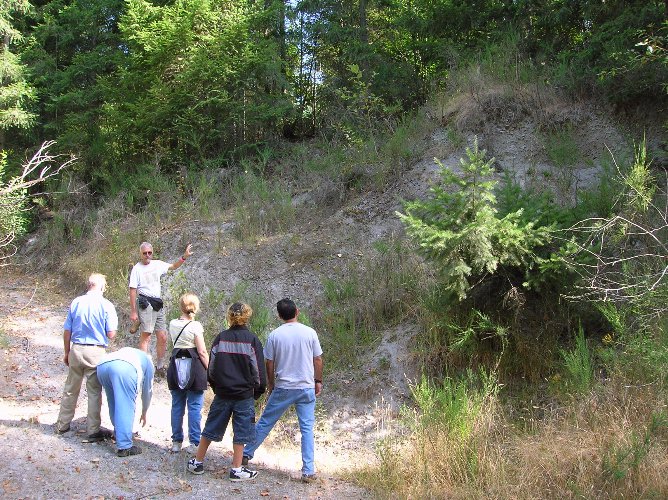
Pat points out geologic features in the valley below Elk Rock Viewpoint.
I should have had him move his hand
higher so it would look like he was pushing on the mountain. :)
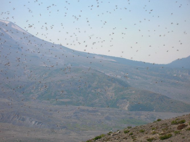
Bugs! Johnston Ridge was overrun by these swarms of tiny bugs.
They didn't bite or sting but they tickled and were quite
annoying. One of the observatory staff members said they had never seen
anything like this before. They seemed to be
a one time fluke that we were just lucky enough to encounter. The
types of wildlife returning to the area continues to be diverse!
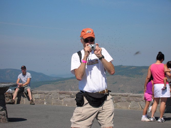
Pat tries to take a picture of the swarm.
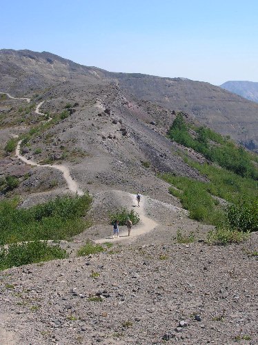
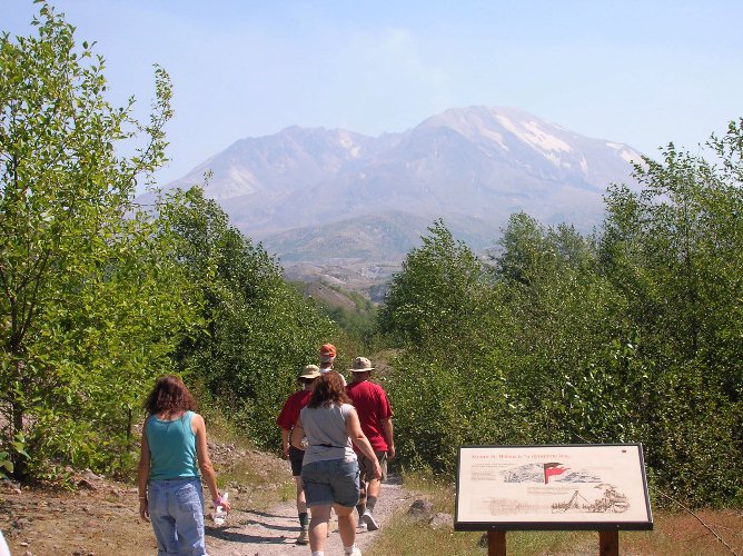
Looking down on fellow hikers as we head east along the Boundary Trail.
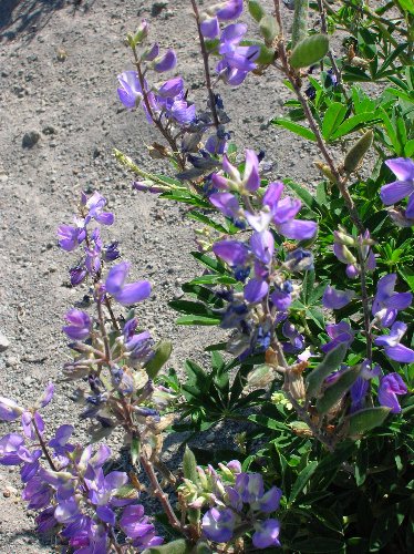
I took time this year to "stop and smell the roses" instead of trying to keep
up
with the group. A little alone time is a good thing.
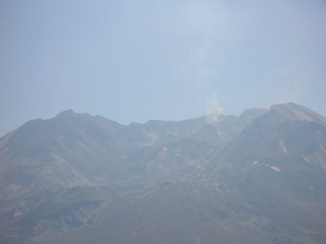
Steam rises from the new lava dome. It was a really hazy day so I
didn't get nice shots
of the volcano like I did last year.
Hiking along the Hummocks Trail in the valley between Coldwater and Johnston
Ridge.